Every layer of the ground, in one viewer.
Stonn opens LandXML surfaces, IFC 4.3 infrastructure, GeoJSON parcels and TopoJSON boundaries in a single federated scene — no conversions, no plug-in chains, no licence dance.
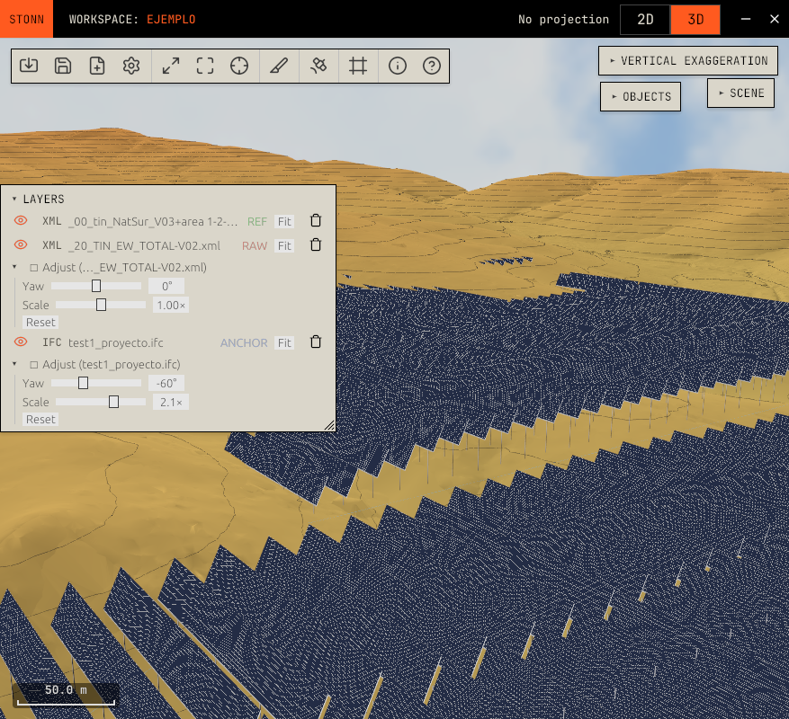
A federated viewer means every team draws on the same ground.
Stop exporting, re-projecting, and emailing screenshots. Stonn holds your surfaces, structures, parcels and utilities in one coordinate system and one scene — read directly from each source format.
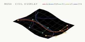
One scene, every source.
Drop a LandXML surface, an IFC 4.3 bridge, a GeoJSON parcel set and a TopoJSON boundary layer into the same viewer. They snap to a common CRS automatically and stay live-linked to their source files.
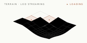
Sites that don't fit in memory.
Even multi-gigabyte IFC infrastructure models and dense LandXML TIN surfaces stay responsive. Stonn streams from disk at level-of-detail so the smallest detail and the entire site both stay interactive.
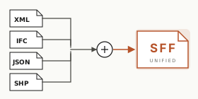
The whole federation in a single file.
A Stonn Federated File (.sff) packages every source — LandXML surfaces, IFC 4.3 models, GeoJSON parcels, TopoJSON boundaries — alongside the coordinate setup and the project state into one portable bundle. Hand off the full site as a single file: no missing layers, no broken relative paths, no licence dance.
A viewer that thinks in stations, alignments, and parcels — not generic 3D.
Civil-native object model. Click an alignment to see chainage. Click a parcel to see attributes. Click a pipe to see invert depths. No translation layer.
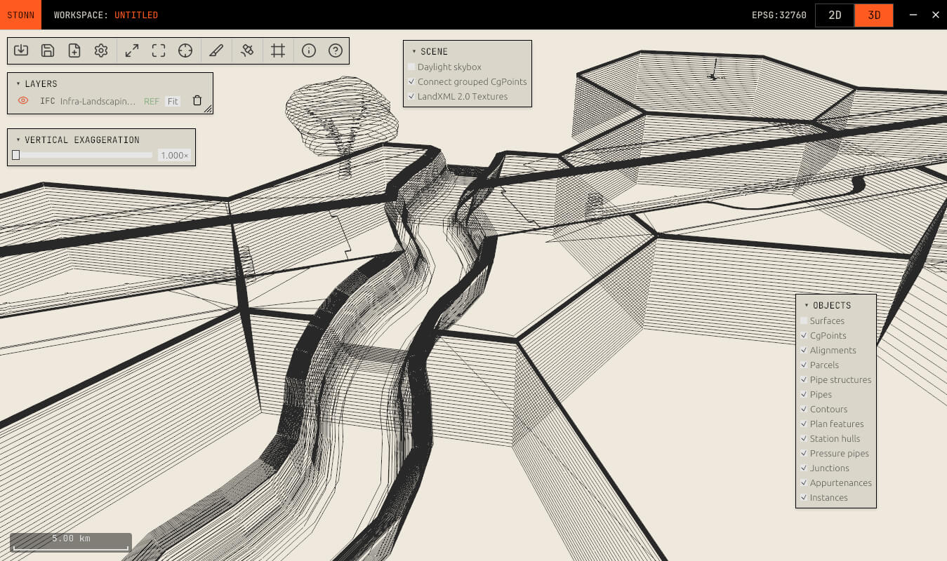
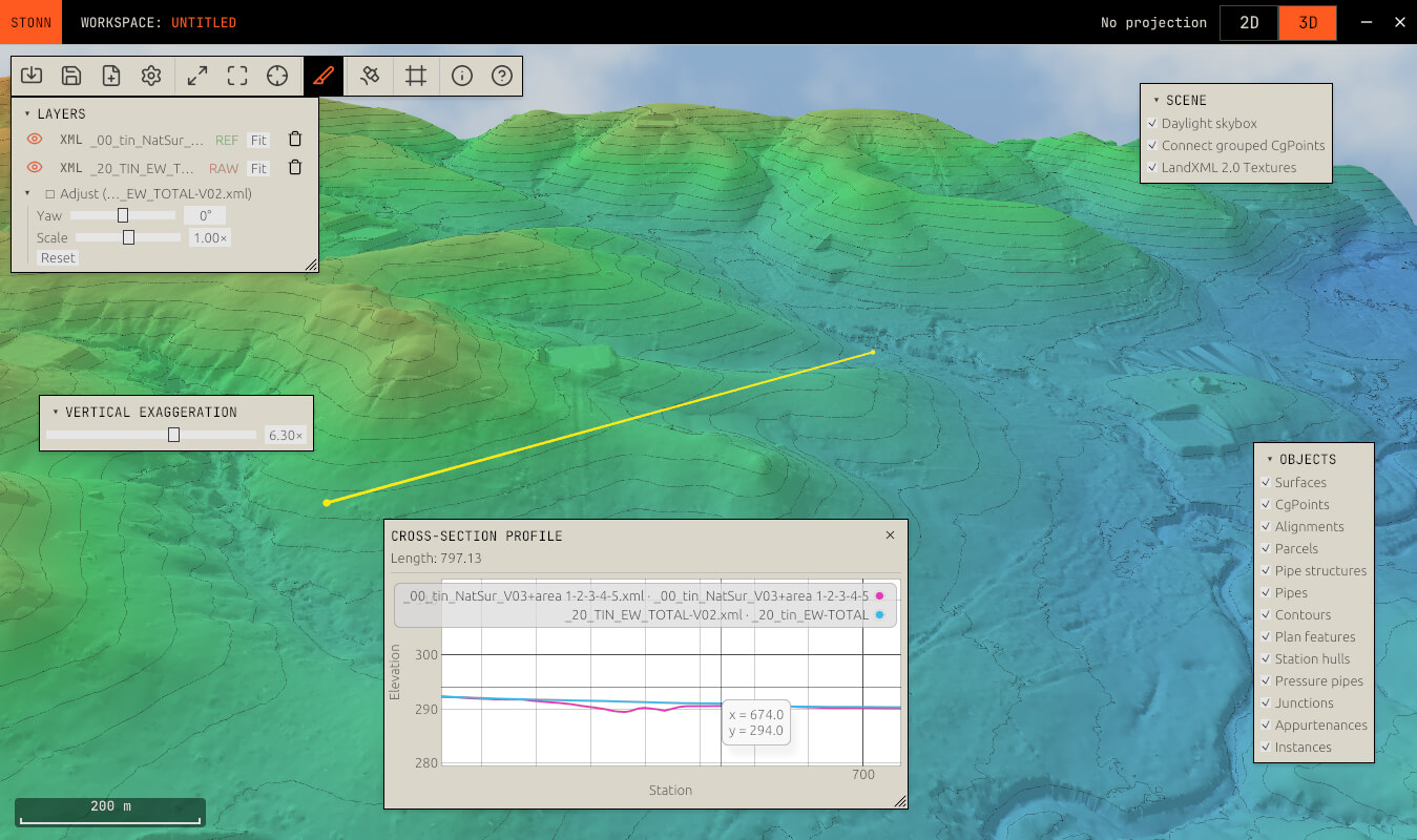
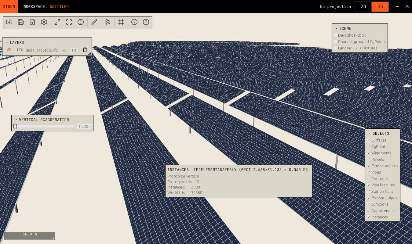
Read native, federate native, never export.
Every format Stonn supports is parsed in its own runtime. No proxy formats, no Esri-to-CAD-to-IFC chains. What you opened is what you see.
SURFACE · TERRAIN
BIM · GIS · VECTOR
Bring every layer of the site onto the same drawing.
Free for individuals and small teams. Self-hosted federated server for enterprise. Open file readers, open coordinate systems, no lock-in.